Address: 9701 (From 9701 To 9707) W (West) 57TH PL, ARVADA, CO 80002-2126, USA
What's 80002-2126? 80002-2126 is a ZIP Code 5 Plus 4 number of 9701 (From 9701 To 9707) W (West) 57TH PL, ARVADA, CO, USA. Below is detail information.
80002-2126 Basic Information

Address

80002-2126 corresponds to the following addresses.
| Address List | Status |
|---|---|
| 9711 (From 9711 To 9713) W (West) 57TH PL, ARVADA, CO 80002-2126, USA | valid |
| 9717 (From 9717 To 9719) W (West) 57TH PL, ARVADA, CO 80002-2126, USA | valid |
| 9723 (From 9723 To 9725) W (West) 57TH PL, ARVADA, CO 80002-2126, USA | valid |
| 9729 (From 9729 To 9799) W (West) 57TH PL, ARVADA, CO 80002-2126, USA | valid |
| 9701 (From 9701 To 9707) W (West) 57TH PL, ARVADA, CO 80002-2126, USA | valid |
Please click the "More Address Examples" to view the whole list.
Address Example
ARVADA CO 80002-2126
UNITED STATES OF AMERICA
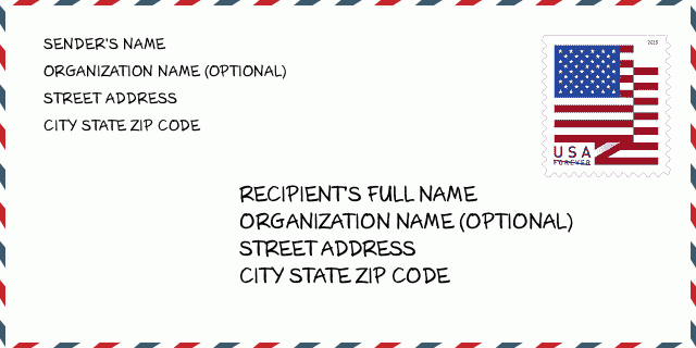
80002-2126 Envelope Example

-
This is an example of U.S envelope. Fill in the sender's information at the top left and the recipient information at the bottom right. The necessary information is sender/recipient's full name, street address, city, state and zip code. The recipient address information has been given for your reference. Generally, If you are not sure of the full 9-digit zip code, you can only fill in the 5-digit zip code to avoid loss of package.
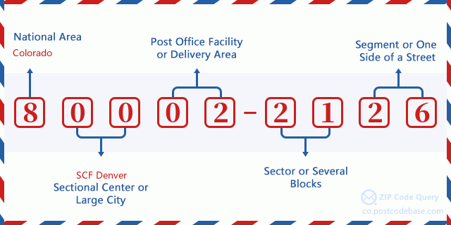
80002-2126 Basic Meaning
-
What does each digit of ZIP Code 80002-2126 stands for? ZIP+4 Code consists of two parts, the first five digits can be located to the post office, and the last four digits can identify a geographic segment within the five-digit delivery area. The 6-7 digits designate sector or several blocks, and the 8-9 digits designate segment or one side of a street.

Online Map

This is online map of the address 9701 W (West) 57TH PL, ARVADA. You may use button to move and zoom in / out. The map information is for reference only.
Address: 9701 (From 9701 To 9707) W (West) 57TH PL, ARVADA, CO 80002-2126, USA
Comment


Add new comment